Welcome Kaleb, SVLT Intern!

Meet Kaleb Burns, University of New England Senior, who is joining Saco Valley Land Trust for a Winter-Spring Internship!

Kaleb hails from Massachusetts and grew up with his mother, father and older sister. He became interested in the Environmental Sciences as a senior in high school through an influential teacher.

Kaleb is busy with Environmental Science as his Major with Anthropology and Political Science as a double Minor. He has done volunteer work with the American Chestnut Foundation under the guidance of his professor, Dr. Klak. This year he is serving as the president of the UNE Anthropology Club.

He reports he has always loved the outdoors, and is excited to start learning how land trusts operate and the role they play in tackling some of the big issues planet earth and all its inhabitants face. We are excited to have him learning about and supporting our mission.

In early February Kaleb joined SVLT board members on a monitoring trip to Great Cranberry Marsh. The team surveyed the 54 acres of wetlands and forest.

Boundaries were monitored to ensure there were no infringements. Evidence of the 1947 fire was identified on stumps and standing trees.

Deer and fisher or raccoon tracks were spotted on the property. A Tupelo tree, also known as black gum, was identified. Board member Richard Rhames remembered that its size has previously named it the largest of its kind in the region. Cranberry marshes are an ideal environment  for these trees. They grow well in acidic, moist, and well-drained soils.

Great Cranberry Marsh Easement is not open to the public for recreation. Occasionally the land trust will bring people out on the property for guided walks but in general, it is reserved for ecological integrity.

Winter Storms at Moses Woodman

The Northeast has experienced a very wet 2023 and 2024 promises to be more of the same. January gave us over a foot of snow in 24 hours and 3 days later, rain and 50 degree weather washed away most of the winter white.

In December of 2023, we saw massive amounts of wind and rain with power outages across the state. Trees blocked roads, driveways washed away, and people were evacuated from river towns.

SVLT has adapted to storms, both rain and snow. We own acres of forestland that are affected by high winds and know that blow downs are common after weather events. So, after the December storm, we headed out to see the damage.

Tom Ledue, volunteer trail steward, monitored the property before the clean up and said “there’s considerable tree cleanup needed… there’s about 17 trees on the ground or hanging over the trails. I estimate about 10 are at least 12 inches diameter (mostly pine) and will require some effort to clear. One large pine might require a slight rerouting of the trail as it may not be easy to take down without a set of ropes or ATV to pull down the tree while cutting.

In other words, this was a big one. Several sections of the trail required intensive removal.

During a clean up day, Tom Ledue sawed and bucked up many large trees, while his wife, Teresa, helped clear the trail of debris.

After a few hours of hard work, our trusty volunteers had cleared the yellow trail up to the intersection of the red trail, and the red trail all the way to the river. They then moved on to the blue loop trail.

Moses Woodman is now clear to explore. Be aware when you’re out and please report any other blow downs or trail issues on SVLT properties. Happy trails!

Thank you, Tom and Teresa!

Boy Scouts Construct New Bridge at Moses Woodman Preserve

Moses Woodman Preserve, located in Buxton, features 1.5 miles of hiking and scenic vistas of the Saco River.

This property is great place for a leisurely walking and bird watching. Bird species such as Wild Turkeys, Eastern Wood Pewees, and Bald Eagles can be heard and seen.

Berries and wildflowers can also be spotted throughout the property. Keep your eyes peeled for several species of wildflowers in the summer as well!

The red trail (see map above) takes you from the parking area to the river. The path has varying landscapes and several small hills. There are many resting areas with benches.

The blue trail has been closed for over a year do to a damaged bridge at the intersection of the red trail.

Thanks to the efforts of a local boy scouts troop, the bridge has been repaired! This restoration will allow people to access the blue loop as well as additional Saco River frontage.

Thank you, Boy Scouts of America, for helping SVLT repair this bridge and increase accessibility at Moses Woodman!

The blue loop has been cleared and blazed after many months of little to no use. Thank you trail workers and volunteer Land Steward, Tom Ledue, for tackling this project!

SVLT highly recommends you check out the Moses Woodman Preserve. For more information and directions, check out the Woodman webpage.

You can also explore the blog post: A Walk at Moses Woodman for lovely images of wildflowers that grow at this property.

Maintaining and Stewarding Land in the Lower Saco River Valley

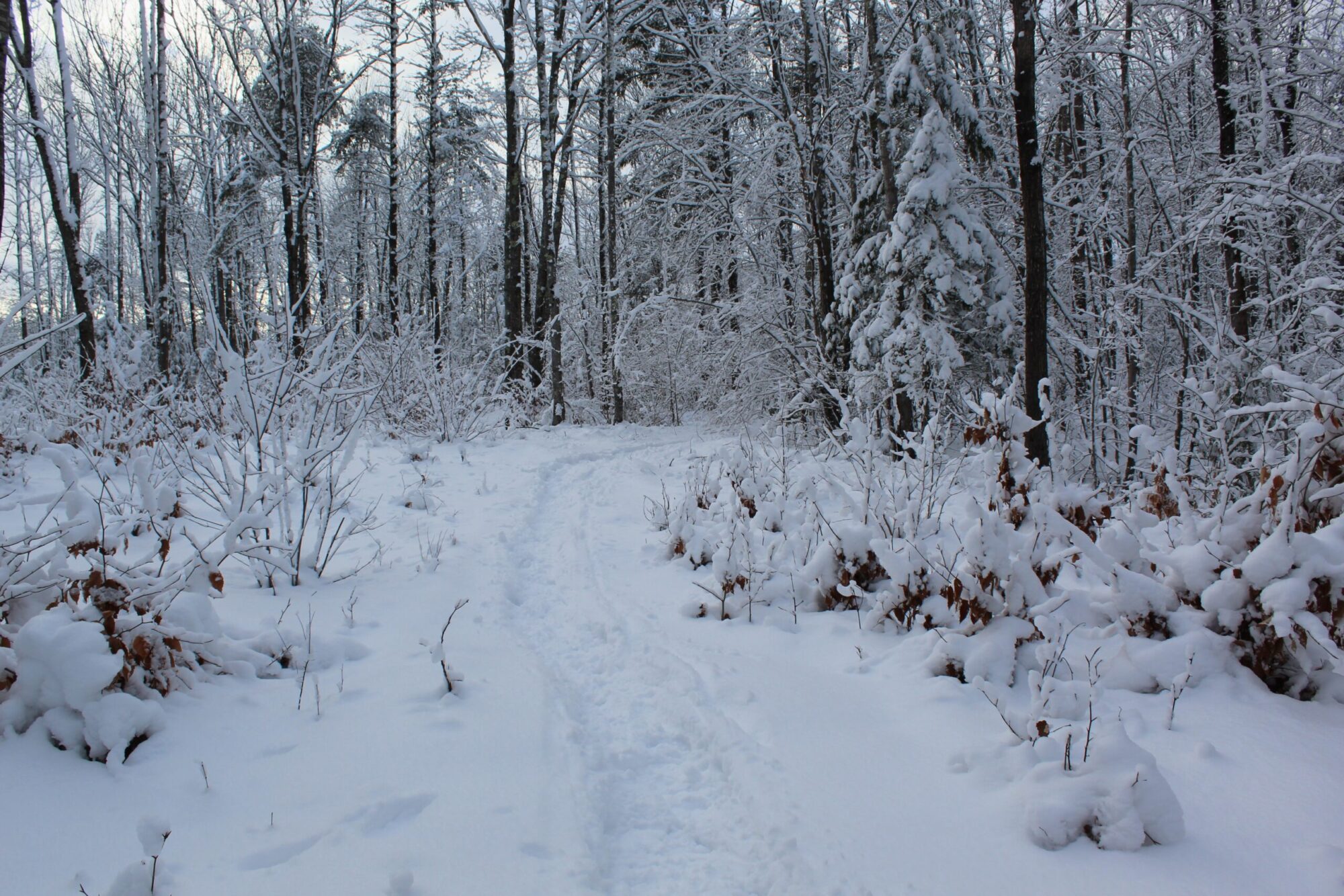
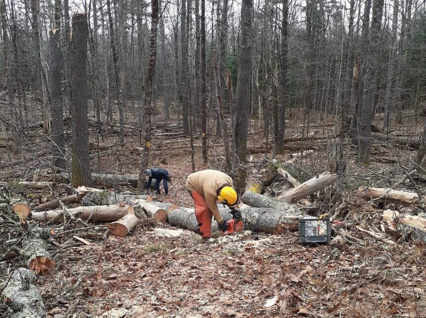
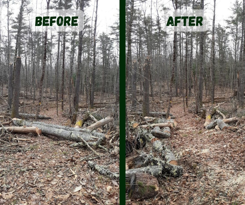
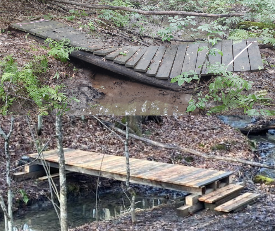
While many people are spending time on the trails in the summer, land trust stewardship takes place 12 months of the year. Board of directors and volunteers may not spend as much time on the properties in the winter months, but we have ongoing projects throughout the year.

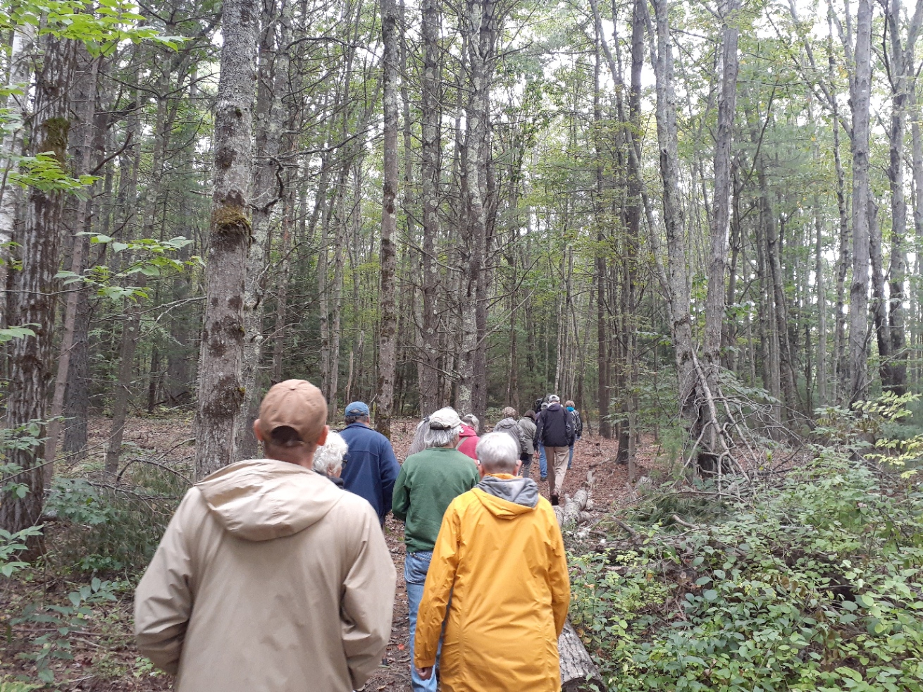
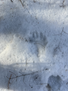
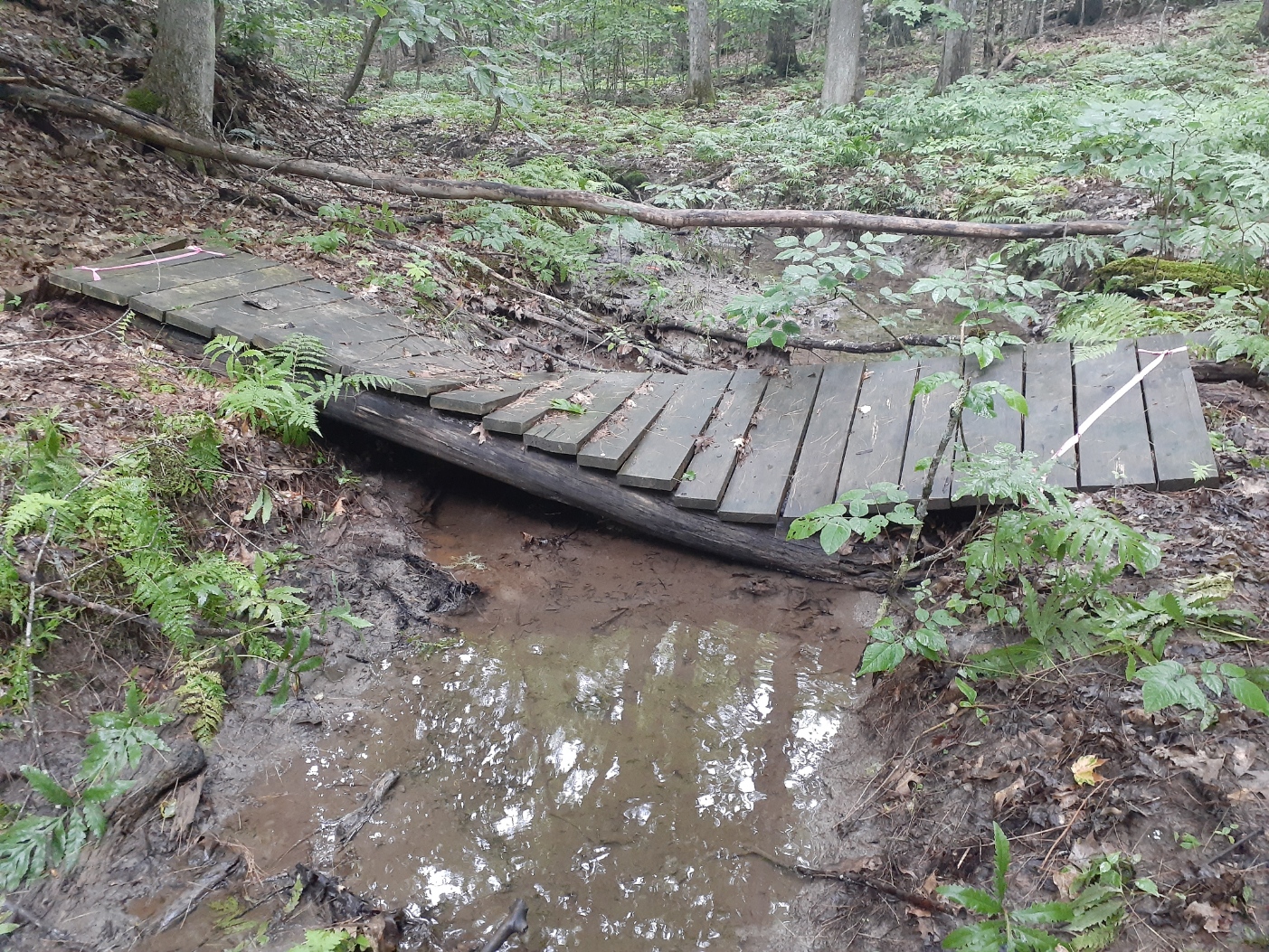
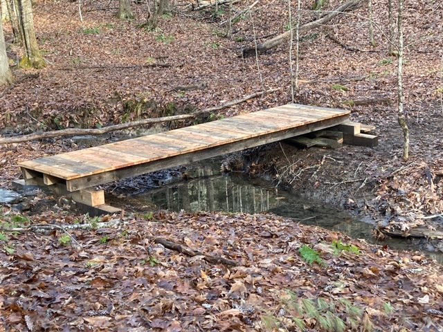
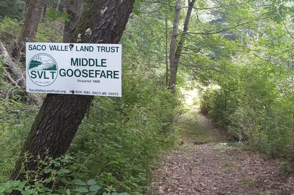
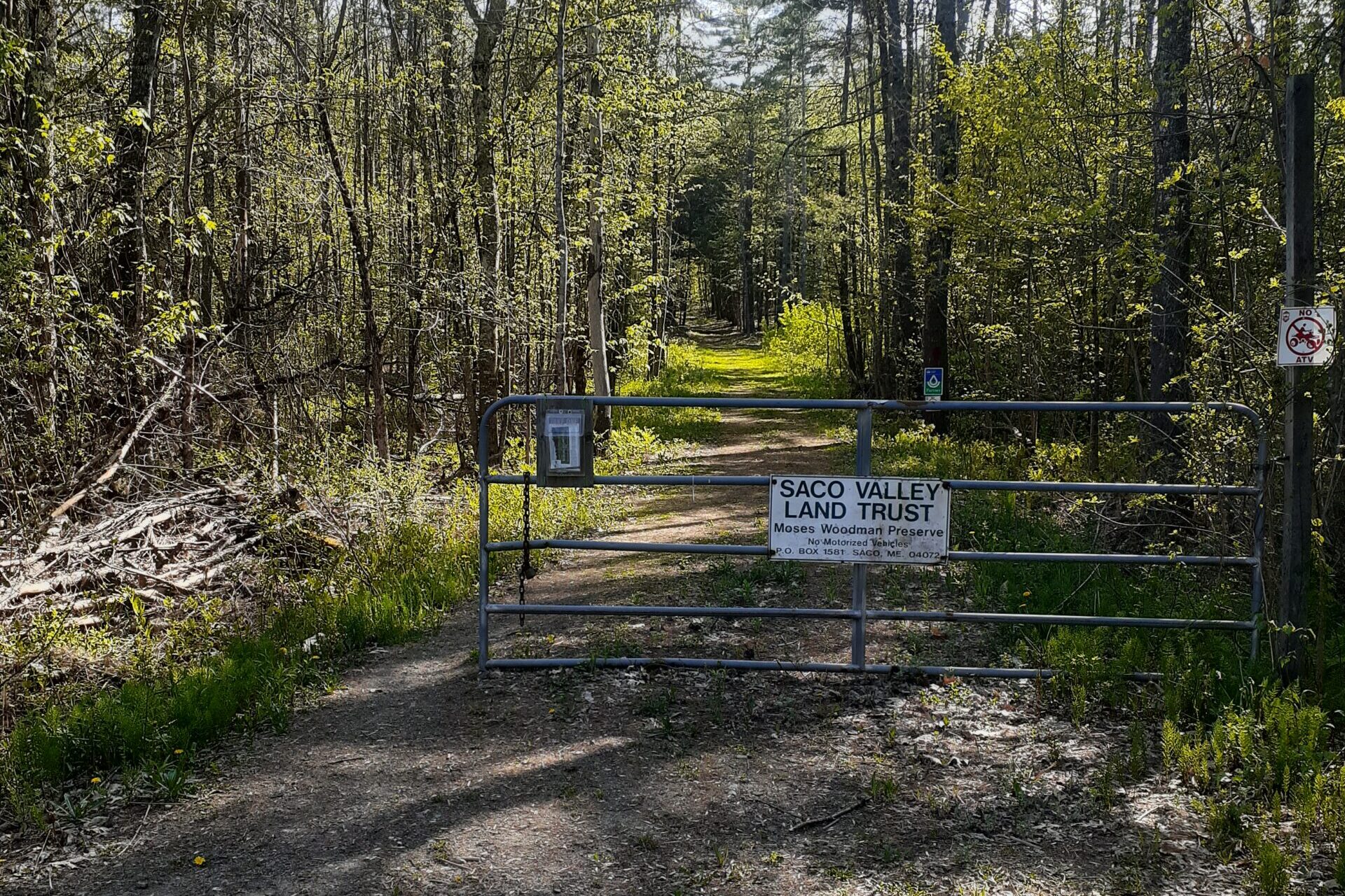
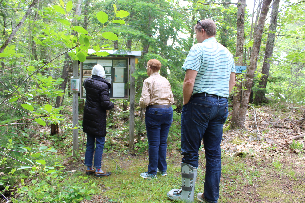
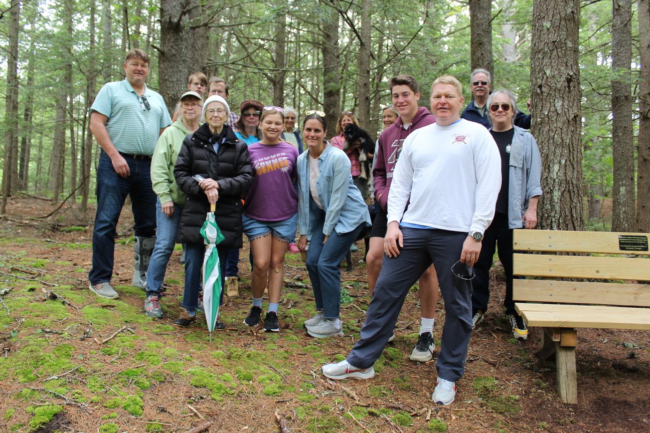
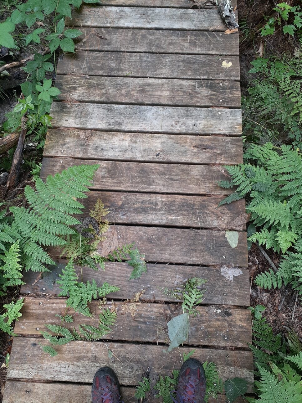
We focus on keeping our trails clear for people to use in all seasons. We offer educational walks and talks. People recreate by hiking, fishing, hunting, snowshoeing, and skiing at our properties.

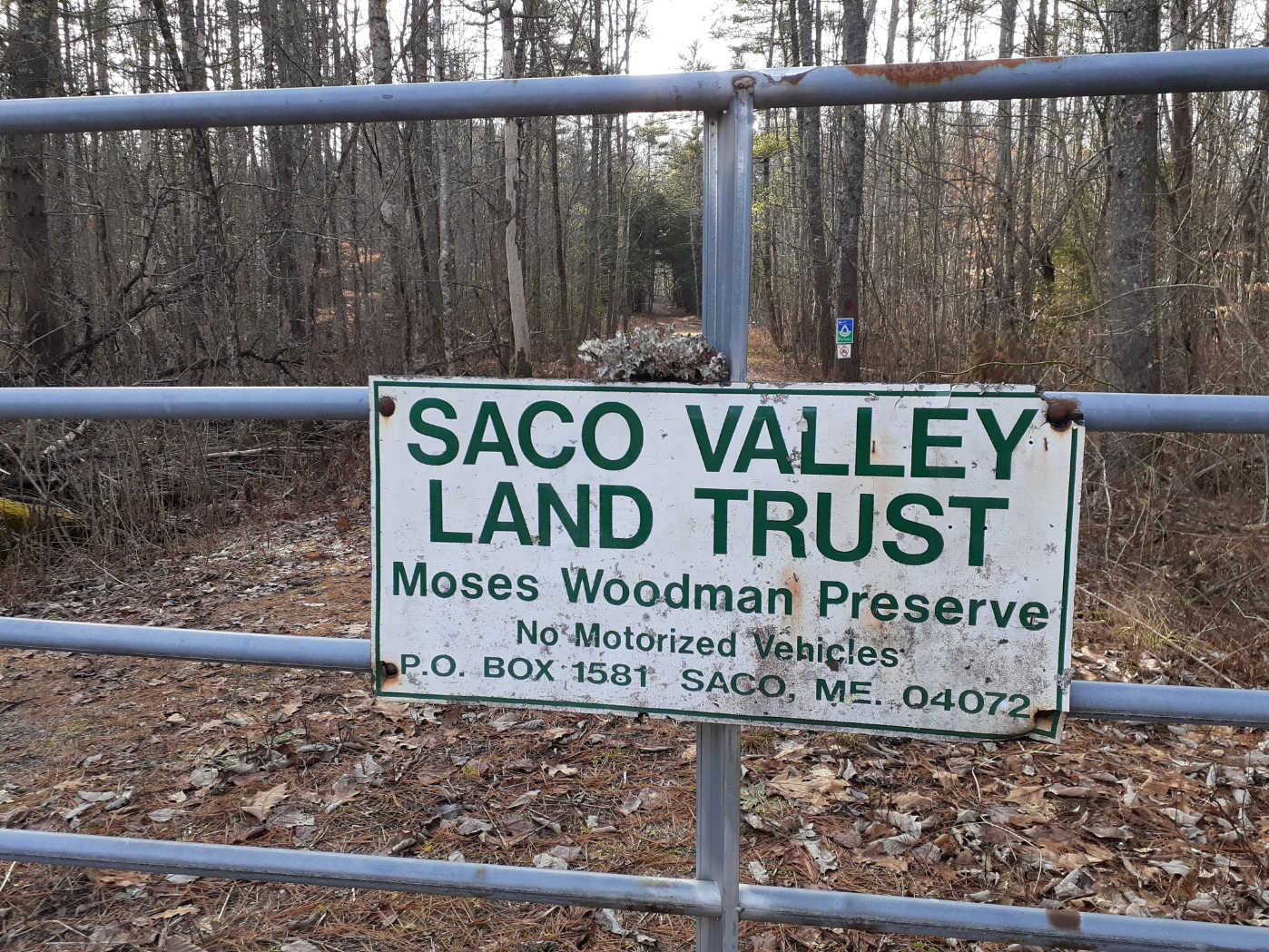
Remember that not all conserved land ais open to the public. Check out the best places to visit HERE.

This takes consistent, year round care from dedicated land trust volunteers. We offer trainings and work days so you too can help out on the trails! Check out our volunteer page to learn more.

The places that are not open to the public are maintained for other reasons such as ecology and habitat. Here are the primary reasons we conserve land:

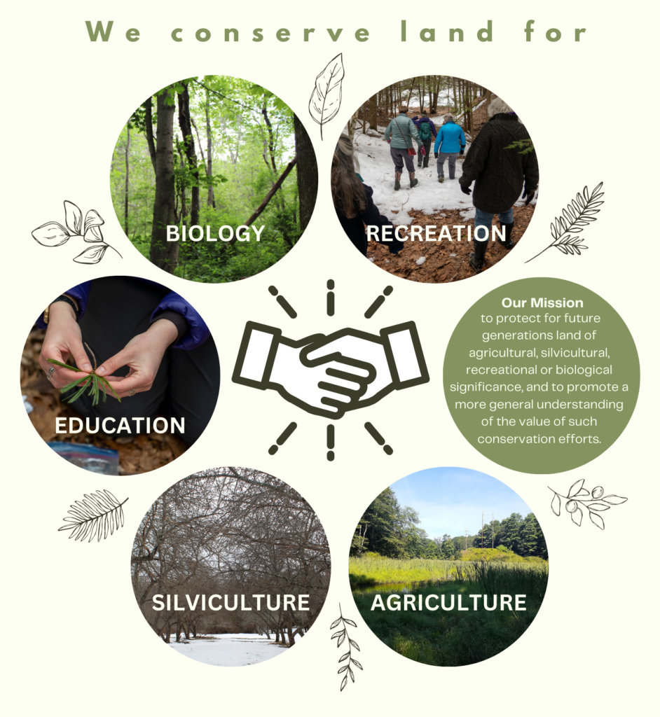
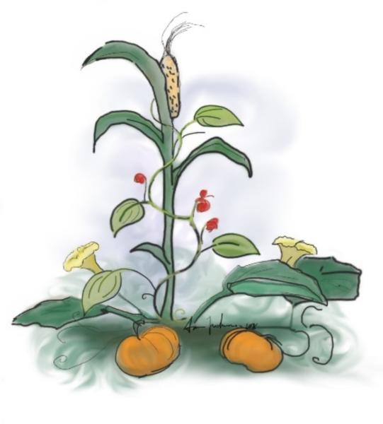
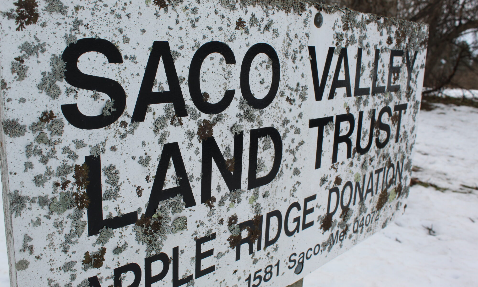
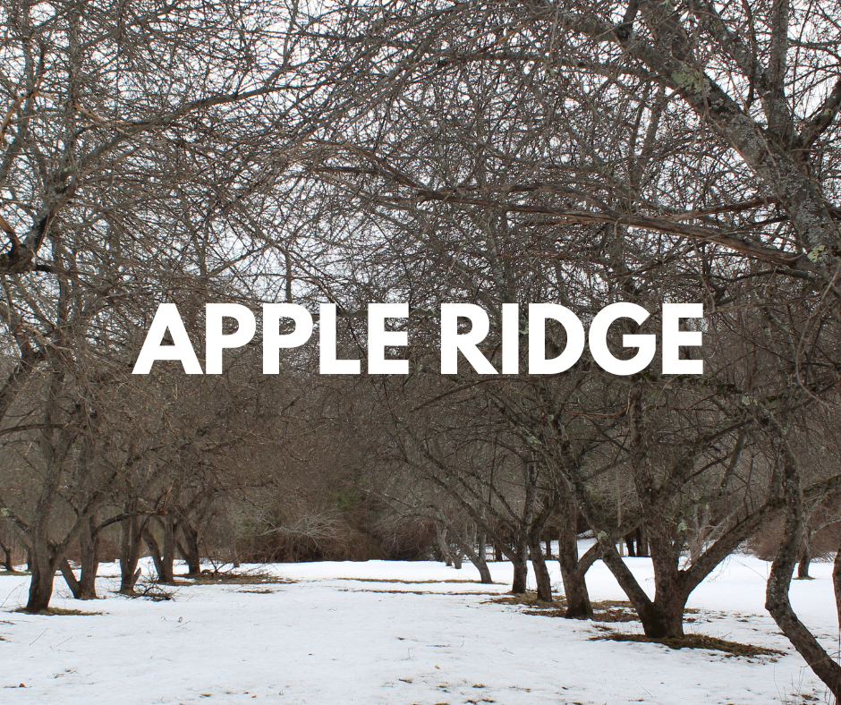
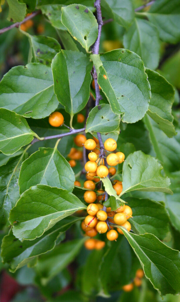
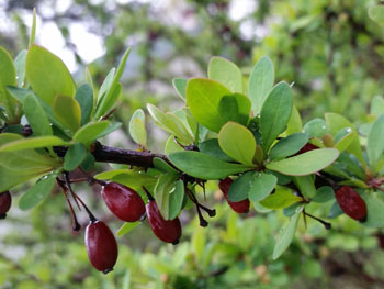
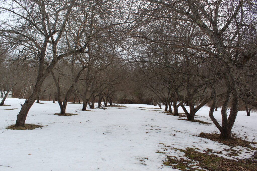
There are properties which are reserved for the growing and harvesting of trees or crops. Did you know SVLT owns a very old apple orchard in Saco? Check out the Apple Ridge donation. And by the way- we are looking for a volunteer to mange this patch of trees!

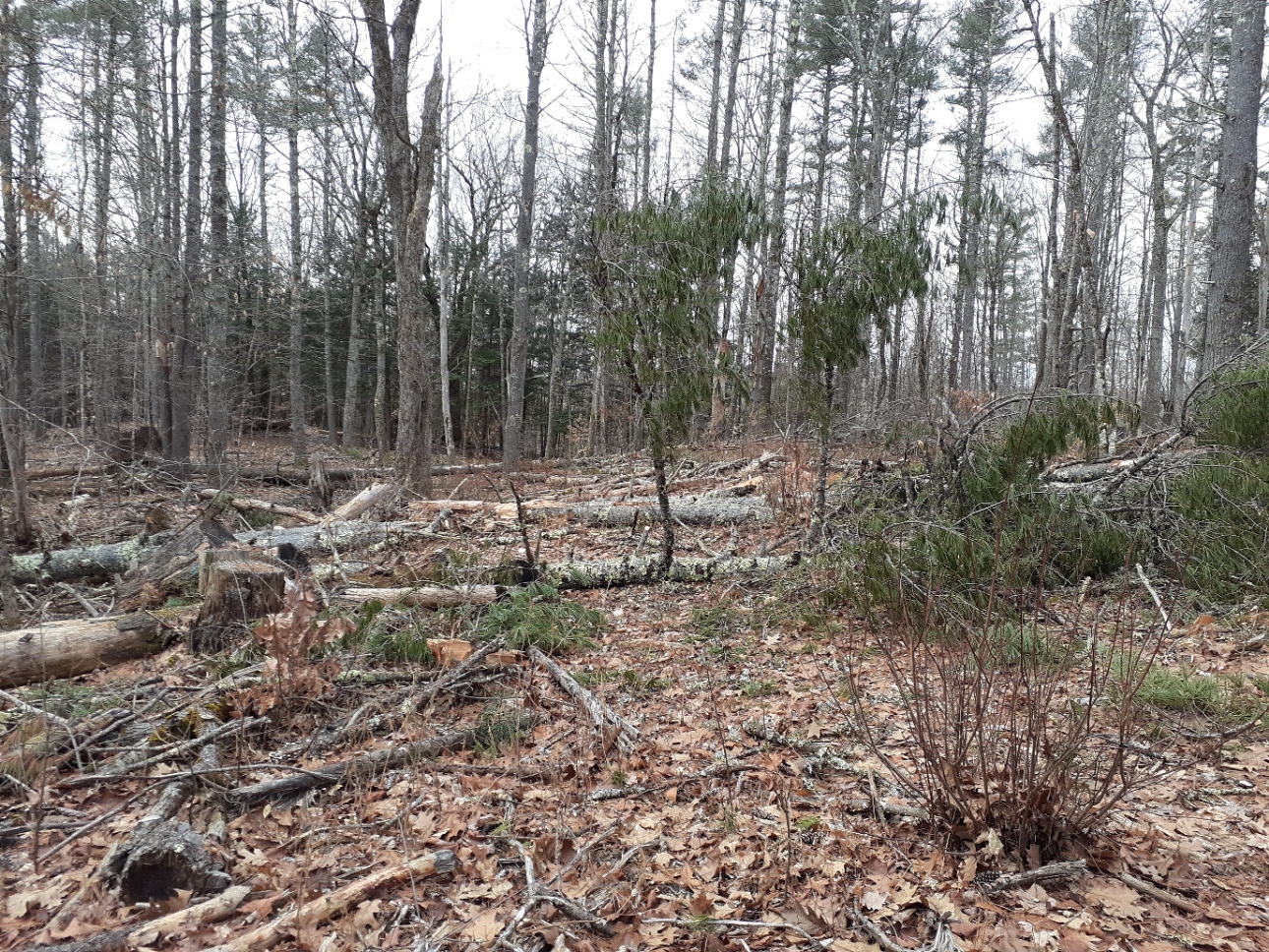
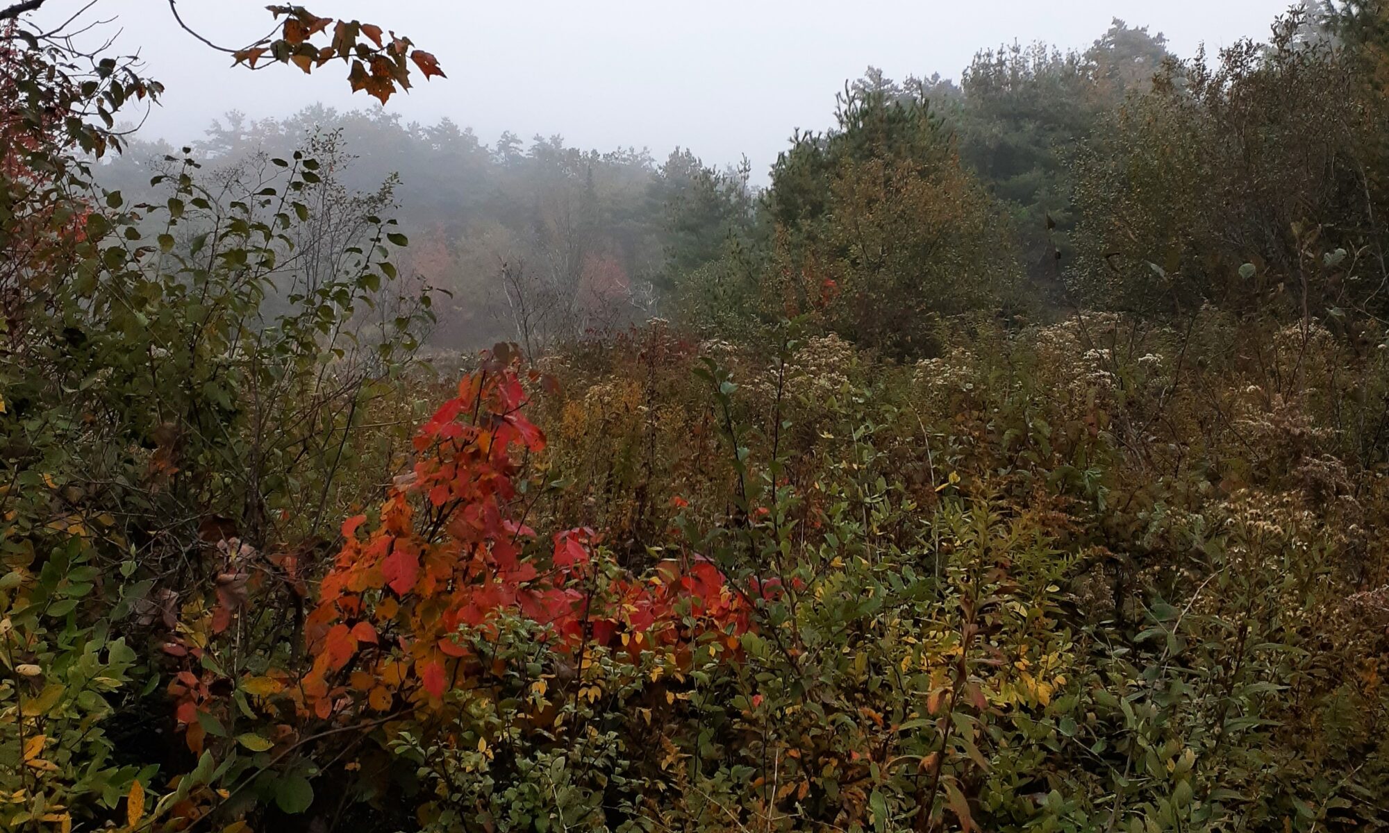
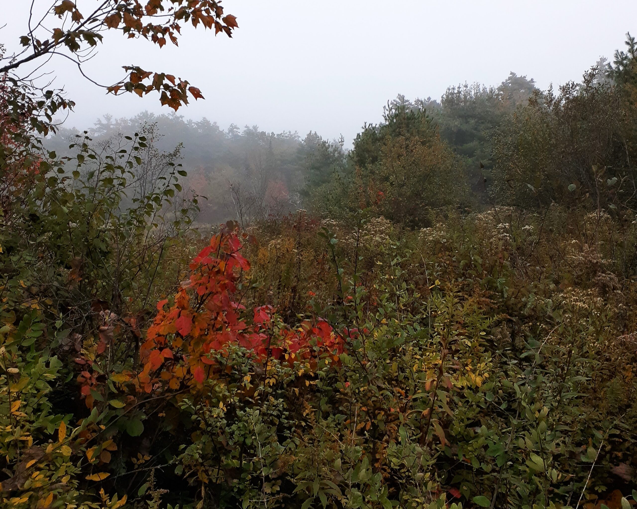
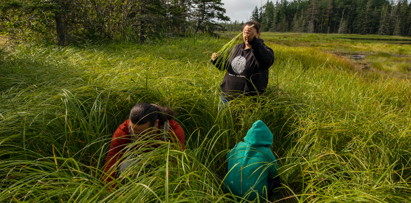
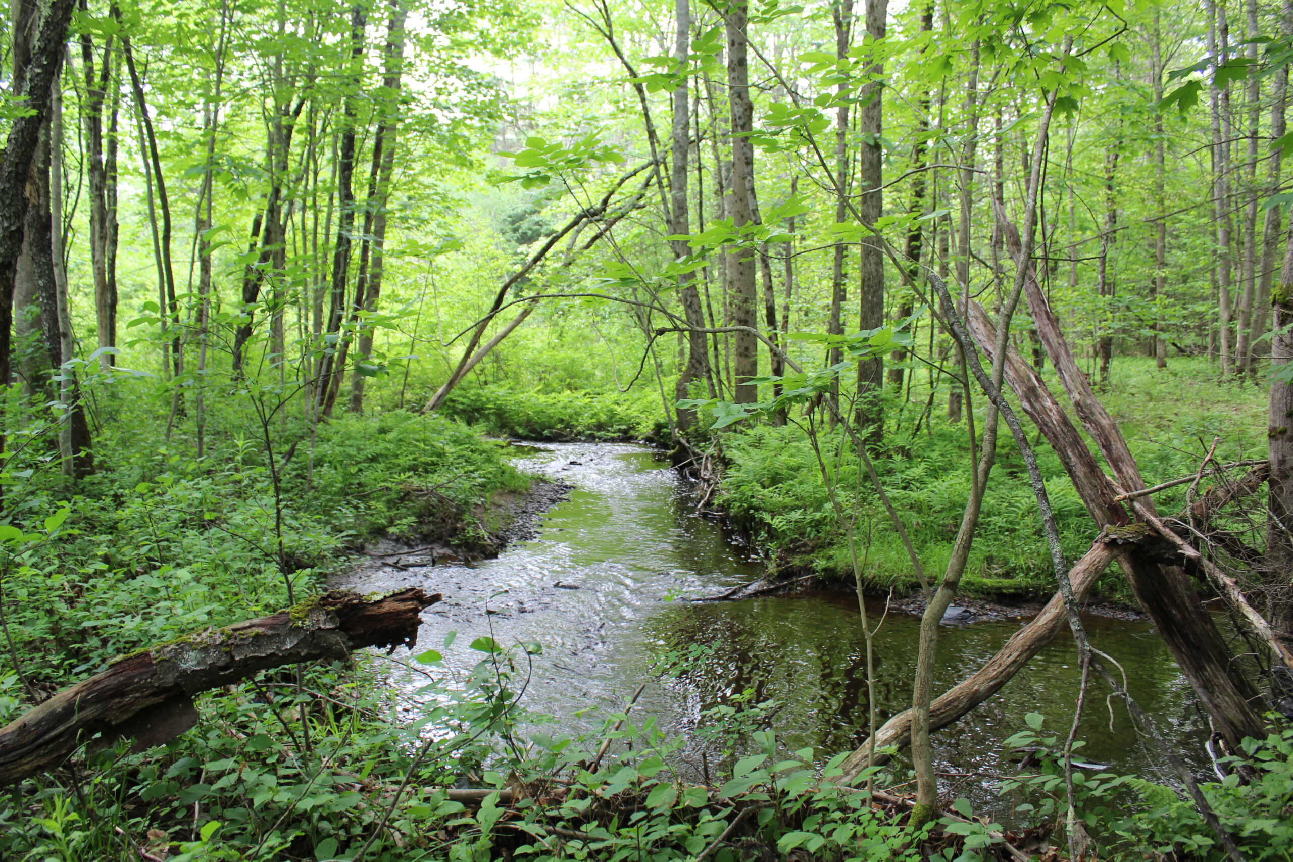
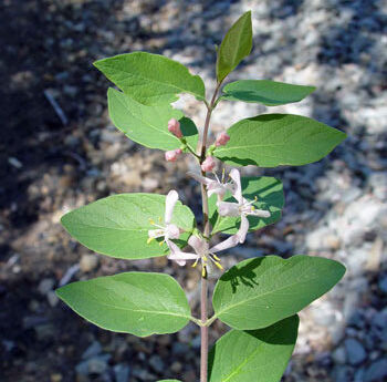
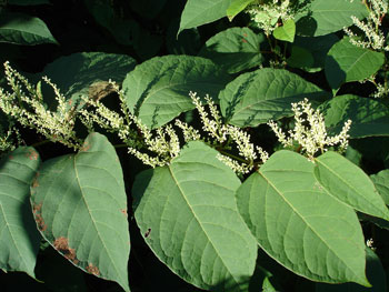
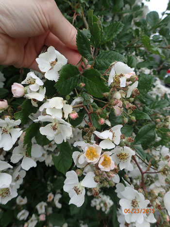
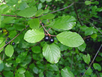
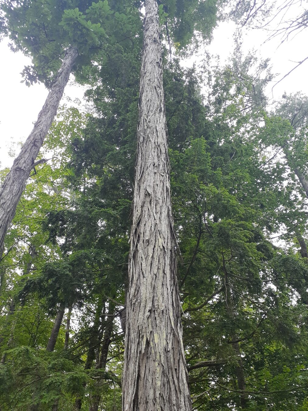
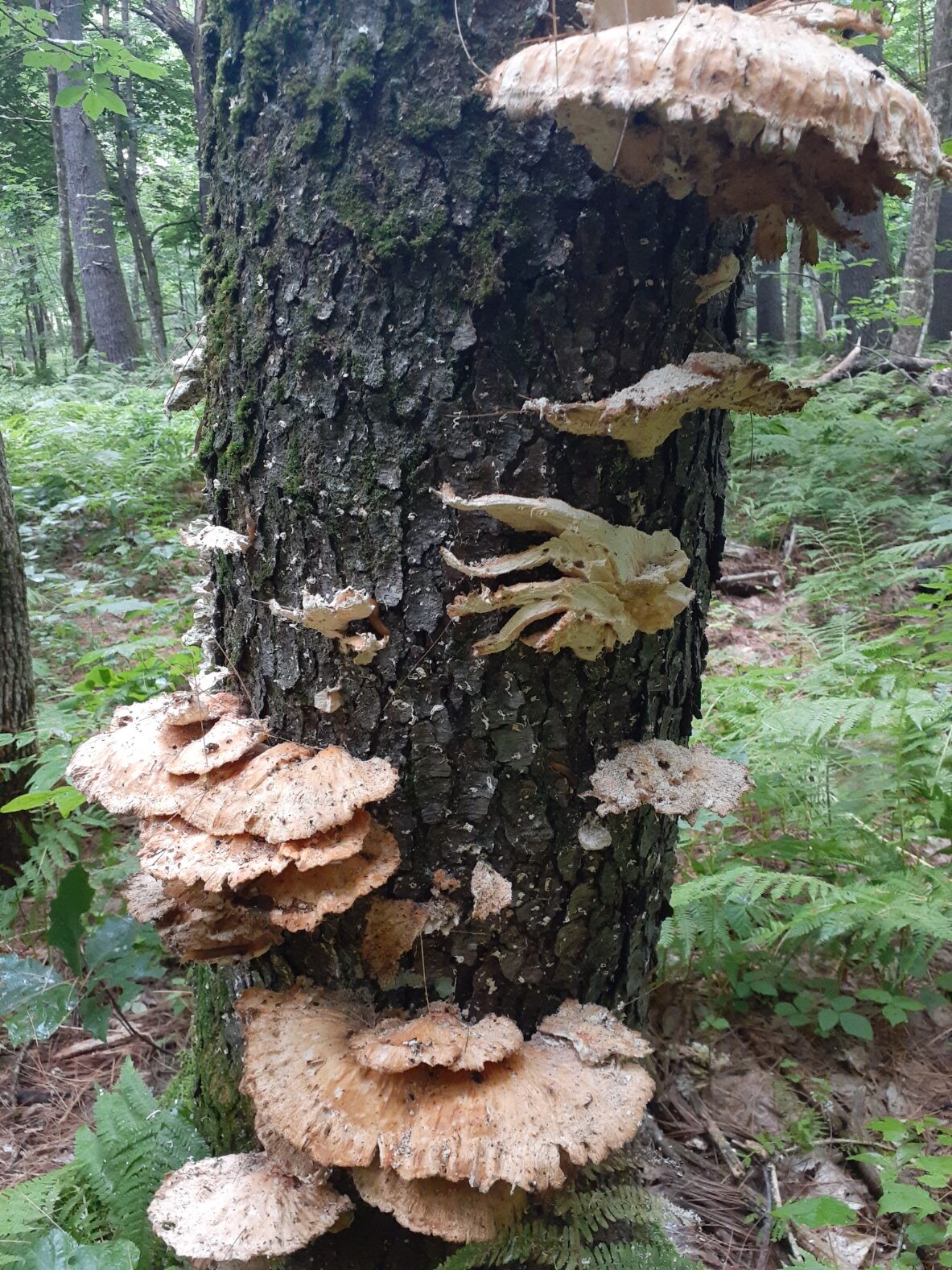
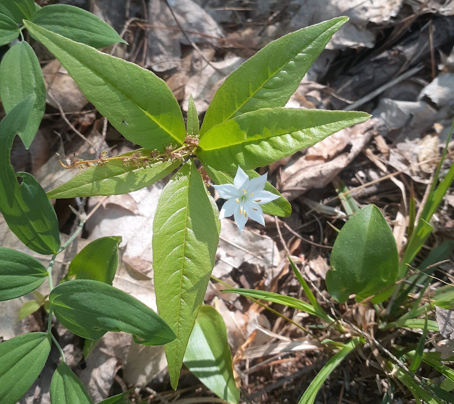
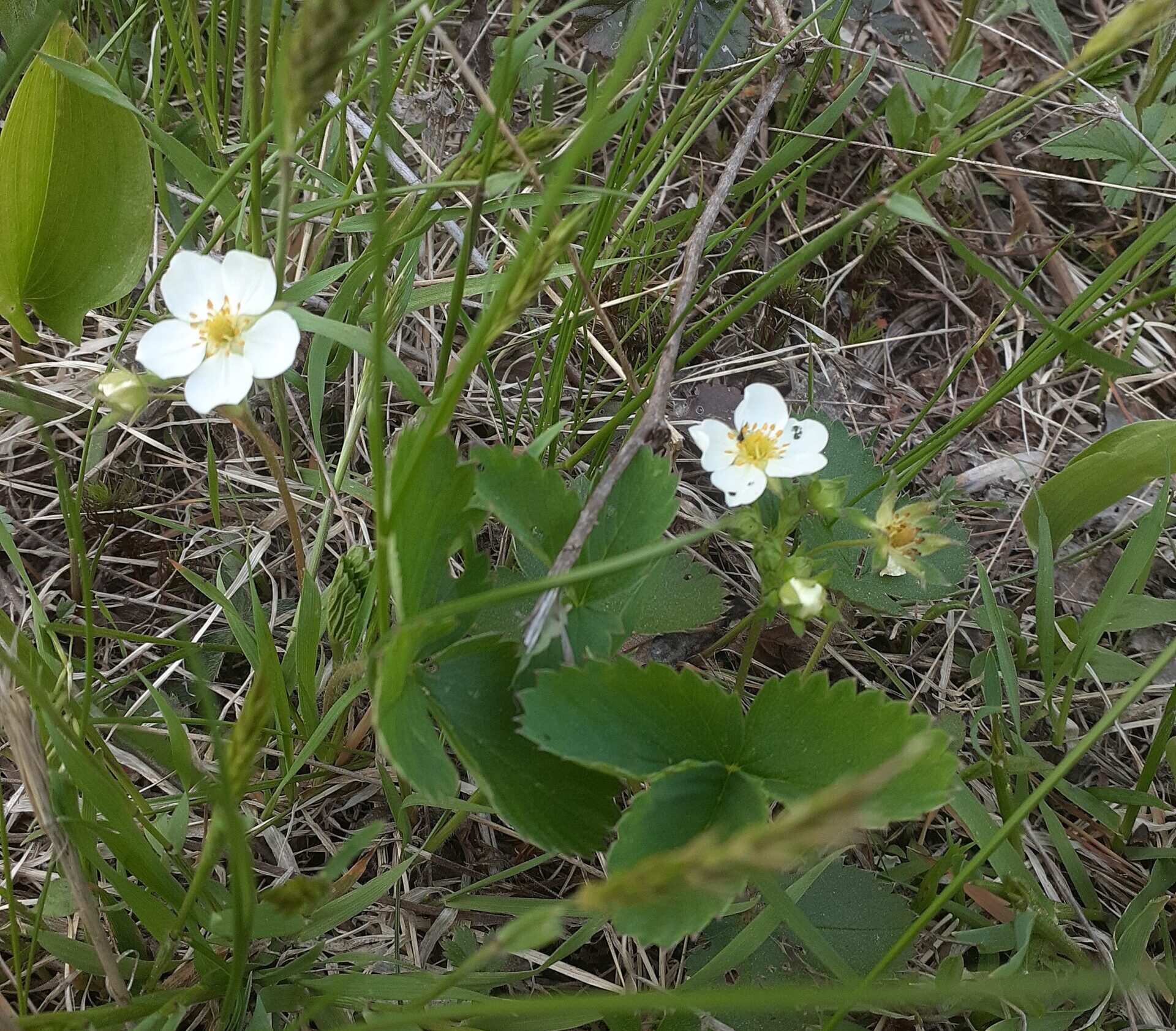
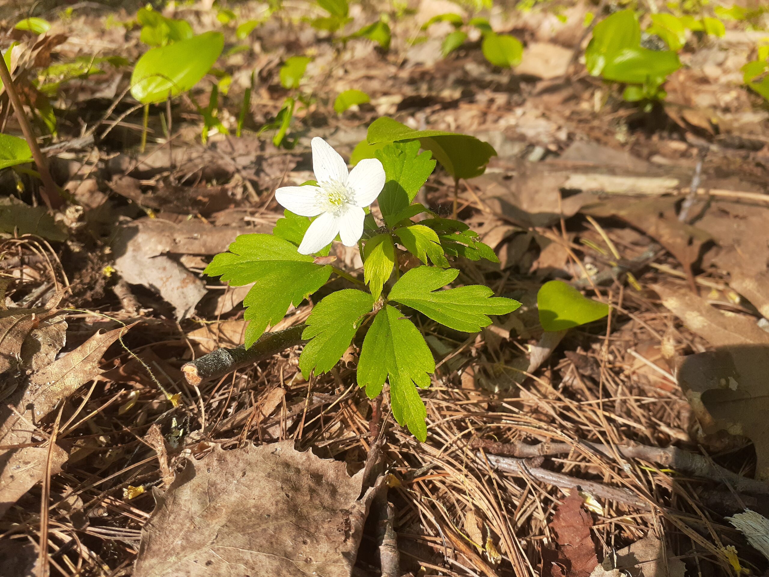
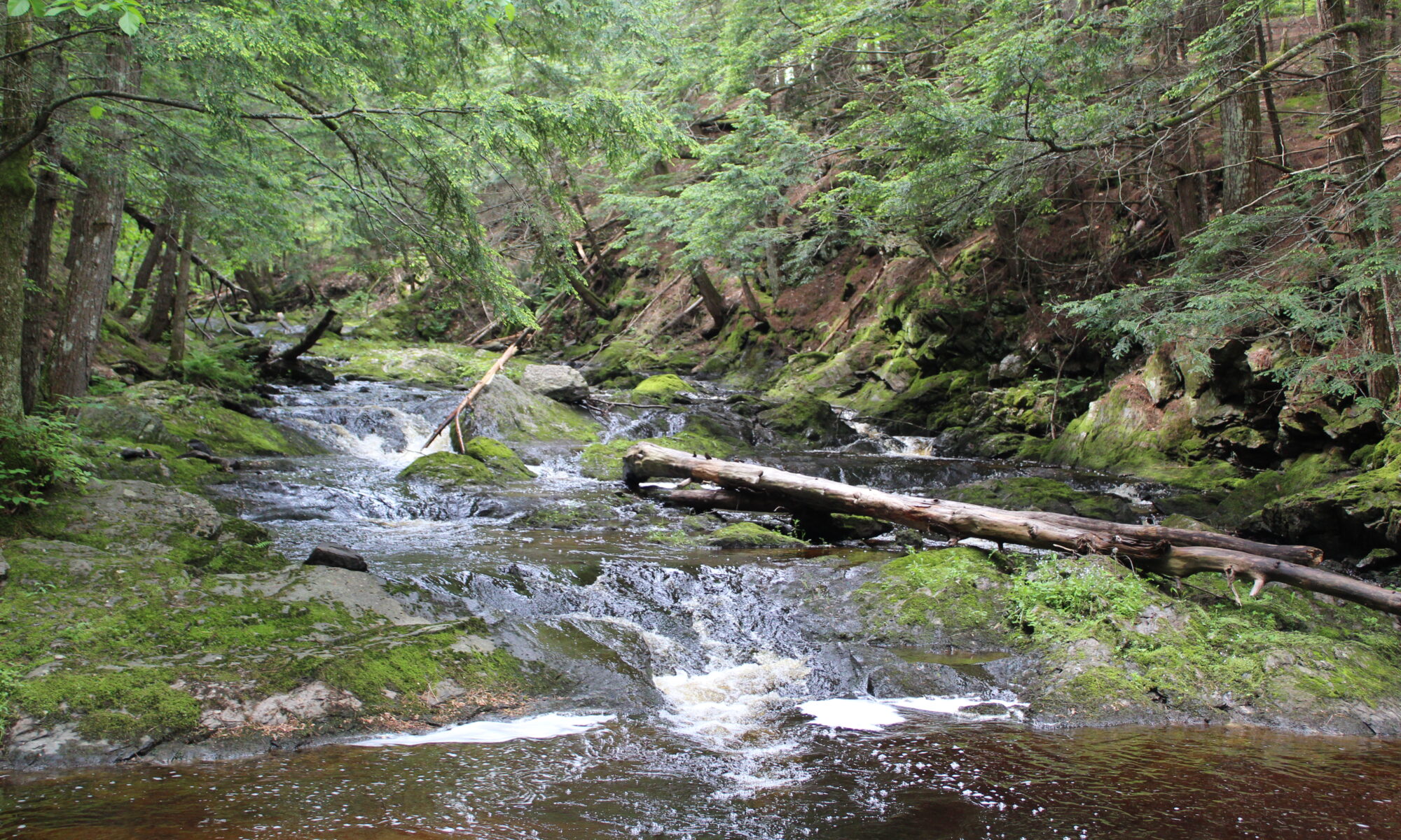
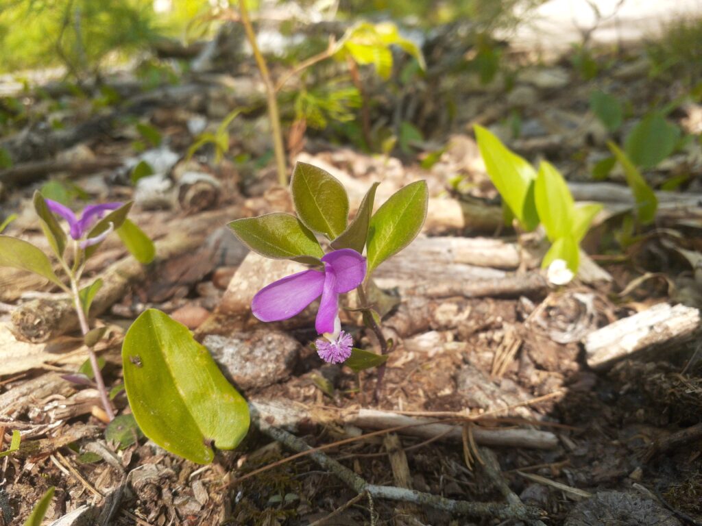
Biology and ecology is a major reason to conserve land. Some of these habitats can be left alone, becoming forever wild old-growth forests. However, some of the land is managed as wildlife habitat.

For example, New England Cottontail is a vulnerable species according to the International Union for Conservation of Nature (IUCN). which means it’s population is decreasing rapidly. There are government initiatives to  create habitat in Maine that is suitable for the rabbits. This leads to altering the forest and promoting the growth of shrubs that are preferred by the animal. Learn more about this on the Maine Inland Fisheries and Wildlife website.

The land trust will adopt some of these maintenance measures to ensure the land is being conserved properly.

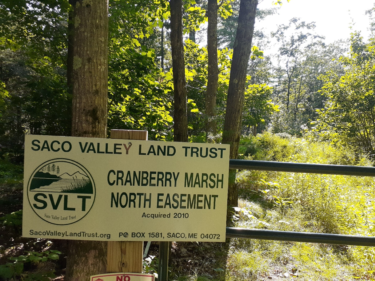
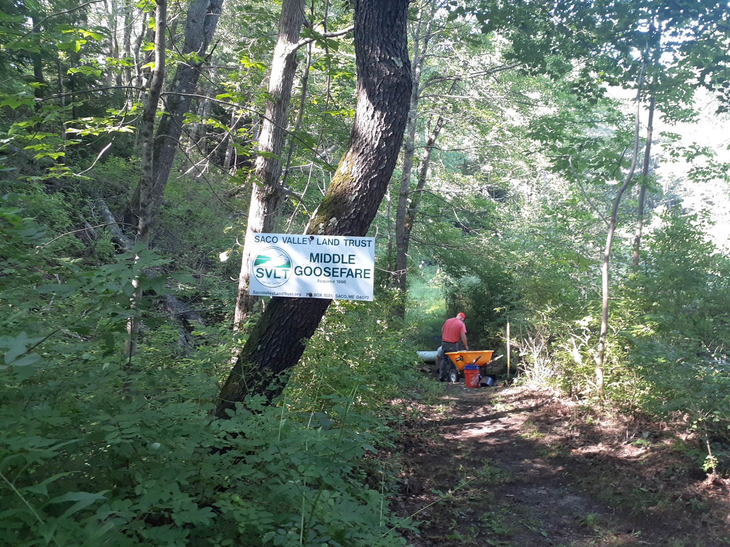
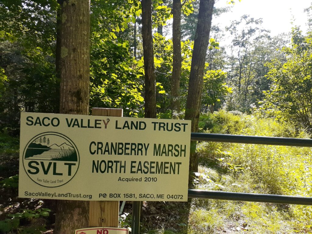
Land that is not owned by SVLT but is managed by the trust is protected under conservation easements. These easements require inspection to make sure the owners are properly managing the parcel.

Sue Littlefield (SVLT board of directors) says “Easement monitoring is required yearly, by Land Trust Alliance standards (the national accreditation organization). Each year the landowner is contacted and usually chooses to accompany the monitoring team while they visit the property. Depending on the wording of the Easement, the team will note recent farm and forestry practices, new farm buildings, fencing, roads, etc. The team and the landowner can discuss future plans and how they would honor the goals of the Easement.”

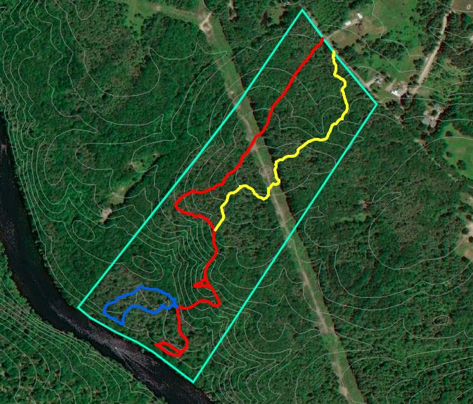
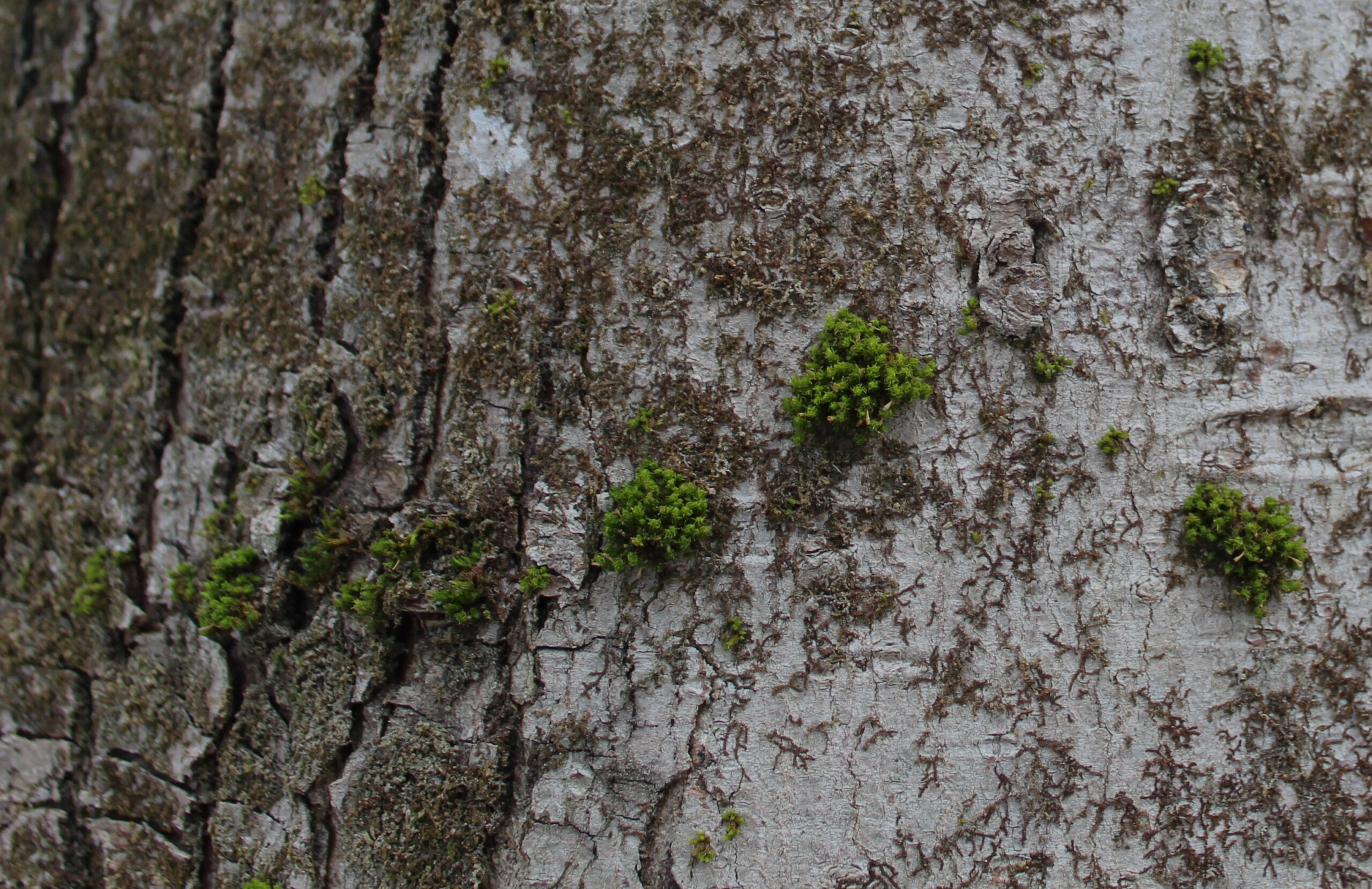
Each property we protect is carefully surveyed and its boundaries are marked, even those we own. Littlefield says” “Land owned by SVLT is monitored at least every three years.  We usually cruise boundaries to refresh flagging and check for encroachment or misuse, and follow any trails or visit environmentally sensitive areas.”

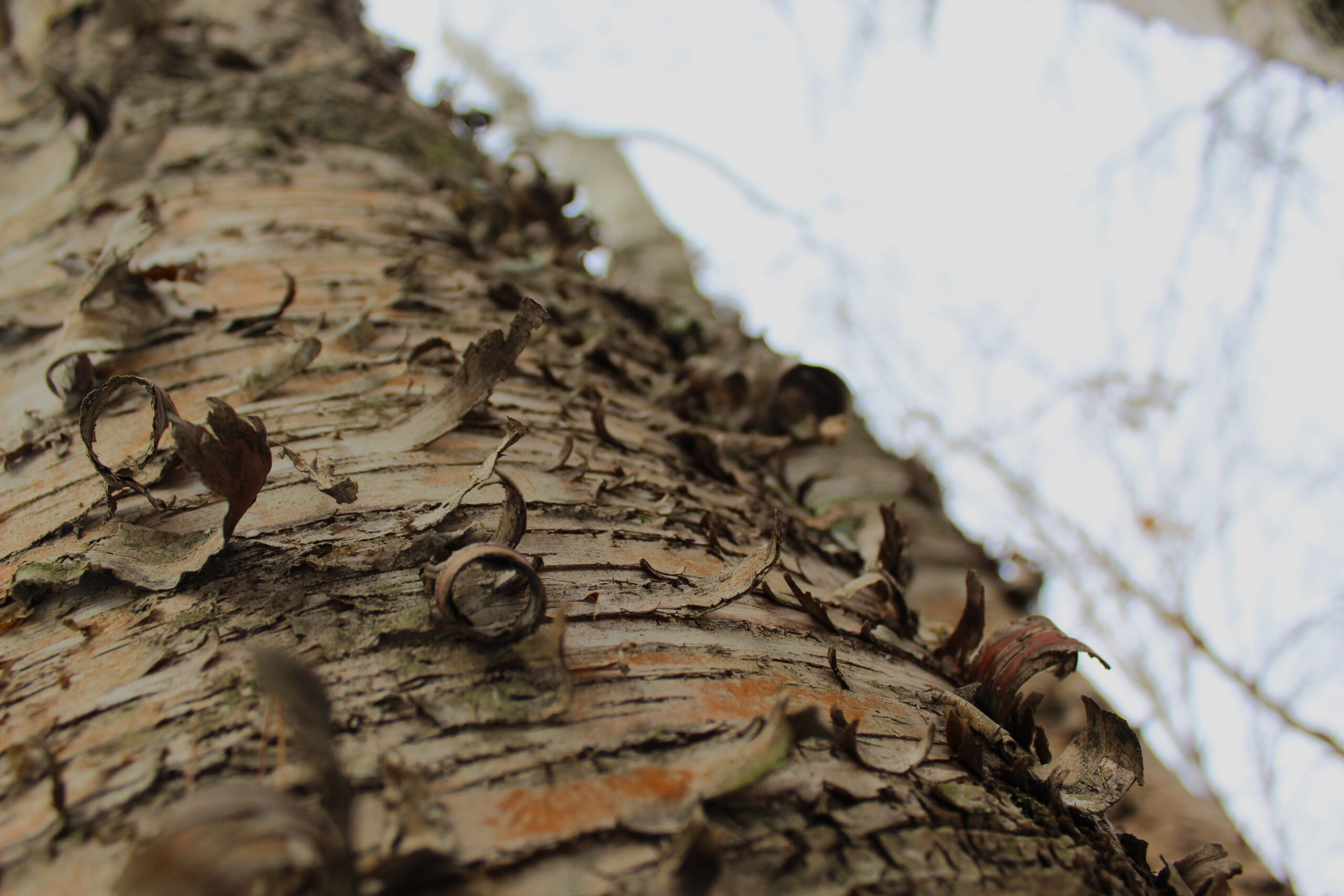
Boundaries also serve as a physical place to return to so we can keep track of the property and understand how it changes over time.

Littlefield says boundary markers “keep the people who are using our properties from accidentally ending up on an abutter’s. It reminds abutters that SVLT does want to provide responsible public use, and helps those wandering in the woods to realize that they are entering SVLT land.”

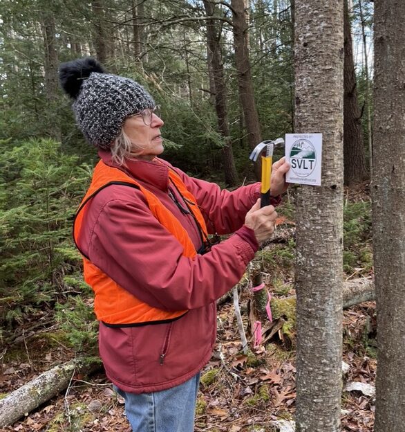
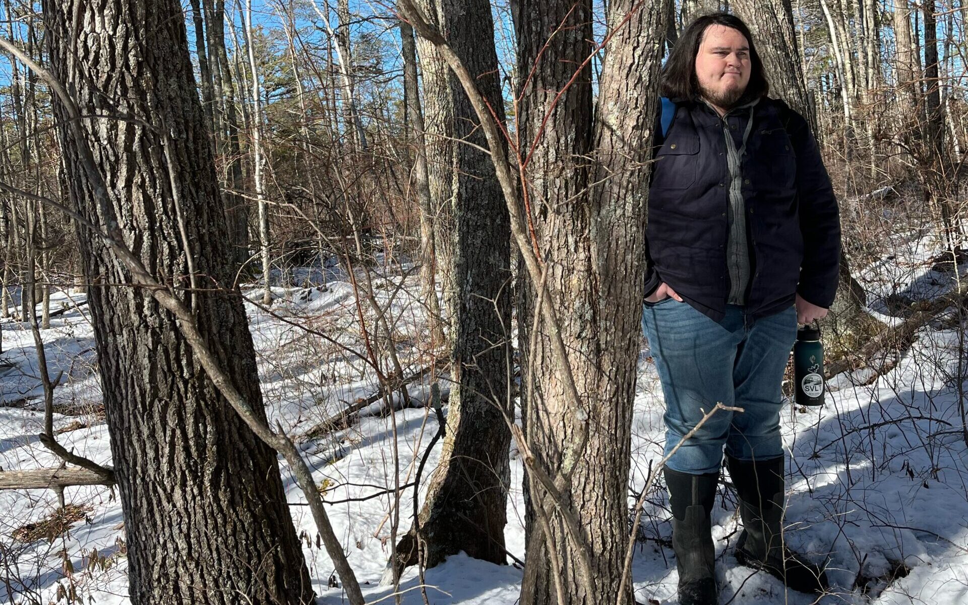
Volunteer Janice Goodrow adds a boundary medallion to a tree at a property in Biddeford.

Volunteers help us boundary mark, clear trails, monitor easements, and overall help us steward the land- all year around. Thank you volunteers!


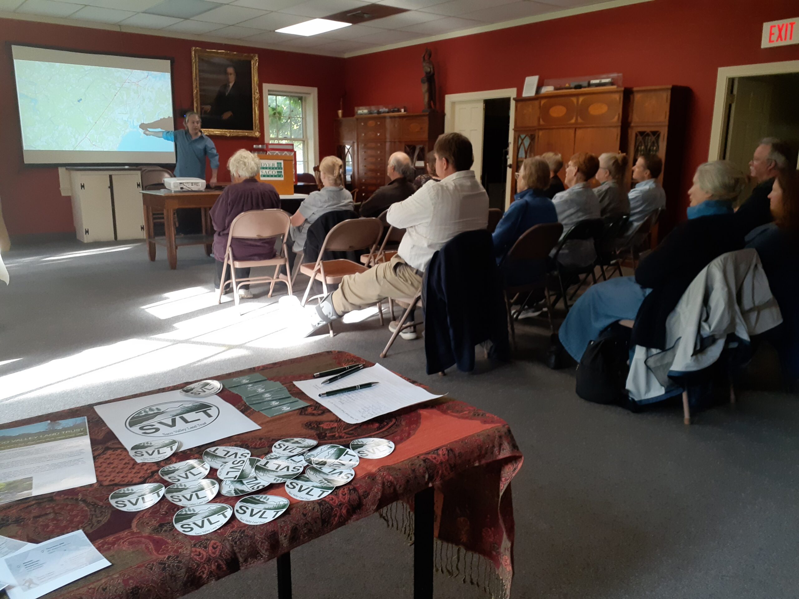
Photo credits (from Top to Bottom): September History Walk, Boardwalk with Ferns at Woodman, SVLT Mission Graphic, Apple Ridge, Fringed milkwort, Cranberry Marsh North Easement by Abby Wilson; Volunteer boundary marking and Pond and trees header image by Janice Goodrow

Owning and Conserving Land in the Lower Saco River Valley

Saco Valley Land Trust’s mission is to protect for future generations land of agricultural, silvicultural, recreational or biological significance, and to promote a more general understanding of the value of such conservation efforts.

Boundary markers are posted to identify conserved land.

SVLT conserves over 1,200 acres in the Lower Saco River Valley- Saco, Biddeford, Buxton, and Old Orchard Beach. Some of this land was graciously donated by families or companies that care about local land conservation. Land that is not owned by SVLT is instead protected as conservation easements.

Cranberry Marsh North is an easement off of North Street in Biddeford.

Land owners can grant SVLT a conservation easement which protects a property in perpetuity. In most cases, granters can dictate how much of a property is conserved and how strict the limititaions are.

An 8.7 acre  property in Biddeford known as the Moreau Donation.

Sometimes land comes through donation, and at other times the land trust is able to raise money for an important purchase. Our donating members provide the means to keep our operation running and not miss these opportunities to protect land for the future.

Middle Goosefare is a trail that runs through a 7.5 acre donation from the Brandt Family in 1996.

Donating land and granting conservation easements are a great way to make a local impact. With an easement, you own your land but allow SVLT to help protect it. This means allowing yearly visits so the organization can ensure conservation efforts are aligned with legal documents. You can allow public access and trail building if you wish. A granter determines the specifics of the easement while also playing a role in the management of the parcel.

Not sure if donating land or an easement is the best way for you to support local conservation? Email us with questions or request a meeting – connect@sacovalleylandtrust.org.

You can also make a lasting impact by volunteering, becoming a member, or sustaining business partner. Learn more HERE.

Wabanaki and the Penobscot Nation

With Indigenous People’s Day this month and Native American Heritage Month on the horizon, we’re taking a look at the native lands of Maine.

The Wabanaki Delegation, People of the Dawnland, or People of the First Light, lived on these lands for millennia.

Wabanaki Map (Legends of America)

More specifically, the Penobscot Nation, (or Penawapskewi, the people of the place of the white rocks), existed throughout the Southern reaches of the Unites States’ 23rd state- Maine.

Penawahpkekeyak (Wabanaki Alliance)

In general, Native Americans of today’s New England managed the land as needed. They used forestry practices, even prescribed burns, to keep land fertile. Agricultural methods were used as well to grow food including the Three Sisters- beans, corn, and squash. This ‘companion planting’ technique was used most often by the Iroquois and the Cherokee nations.

Methods were learned by gentle studying of the land. Some techniques originate over 3,000 years ago.

Three Sisters (USDA)

Many Penobscot were fishermen. Living off of the Penobscot River by spearing and netting salmon or alewives. The river was a source of food, culture, and spirituality. These people belonged to the river- the river did not belong to them.

Native Americans did not take ownership of the earth and instead found this European notion of property to be ridiculous. As Western colonization progressed, indigenous rights vanished.

Over the last several hundred years, Wabanaki have lost their ties to homelands.

Tribal Lands in Maine (Wabanaki Alliance)

Several initiatives have been created to help Wabanaki reconnect to their home. Harvesting sweetgrass by native communities on Mount Desert Island in Acadia National Park was opened in 2015, thanks to efforts from the National Park Service.

There are also instances of land trusts or cities returning land to Indigenous Nations. In 2020, Elliotsville Foundation gave the Penobscot Nation over 700 acres to connect existing tribal lands.

Harvesting sweetgrass in Penobscot Nation (Maine Beacon)

Land trusts, cities, and organizations across the country have put together land acknowledgement statements. This is a simple task that achieves only a small goal. Land acknowledgment by itself isn’t enough. Support an Indigenous Organization by donating money, volunteering, or returning land.

Learn more about Tribal Lands and the Wabanaki Alliance, go to: wabanakialliance.com/tribal-lands-in-maine

Trails to explore this fall

The summer heat is finally over and the bugs are in fewer numbers. A perfect time to get outside and enjoy a walk!

SVLT conserves over 1,200 acres in the Lower Saco River Valley. We manage wetlands, agricultural lands, riparian zones, and trails. Some of our properties have marked paths open to the public. Learn more about them below!

Apple Ridge

Nothing quite says fall like apple picking! Apple Ridge is a small property located off of William Ave in Saco. While appropriately named for it’s old apple orchard, the trees are not pruned so there is no guarantee as to the quality of apples.

Please to considerate while parking on this cul-de-sac road. Do not block driveways or park on lawns of the neighboring properties.

If you are interested in helping us maintain this orchard, please let us know! We are seeking a volunteer orchard manager. Contact Abby at awilson@sacovalleylandtrust.org

Middle Goosefare

This trail system is managed by Saco Bay Trails. It features a picnic area with tables and benches. One can bring a lunch and enjoy the view of a wetland.

There are two parking areas. The southern trailhead is located by the Eastern Trail John R Andrews pedestrian bridge. Additional parking is found behind the Citgo gas station off of Route 1 in Saco.

Thurston Mill

This property is located in North Saco off of Watson Mill Rd. A small trail leads from the road to the Nonesuch River. A kiosk  exists off of the road which describes the history of the property and features images of original Thurston family members. There is also a monument at the trailhead.

Across the street from this kiosk and monument, you can access another short trail on the Nonesuch property. This trail eventually leads to a loop with a waterfall. Currently (2023), we are replacing the bridge over the Ricker Brook.

Moses Woodman Preserve


This property features 1.5 miles of walking paths. The main trail begins at the gate at the parking area. It continues down to the Saco River where you can sit and take in the view on a bench or read about the Saco River Watershed.

Wildflowers, like this Fringed milkwort pictured above, and berries are all around in the spring and summer at Woodman. Bald eagles and songbirds can be seen throughout the property and especially along the river.

All are welcome

We allow recreating all year around including snowshoeing, cross country skiing, nature study, and hiking. Your dog can tag along but they must be leashed. You can visit these trails for no fee, 365 days of the year.

If you love these trails, consider making a donation or giving back by helping out!

Common Invasive Species in the Lower Saco River Valley

Standard Practices

  • Ensure you have properly identified an invasive species before removing. Use Maine DACF fact sheets, field guides, or smart phone apps such as Seek.
  • Fruits and flowers should always be bagged
  • Toss woody stems and branches off of trails, riparian zones, streams, and sensitive habitats.

Effective tools: Use loppers, clippers, hand saw, axe, pick axe, pick mattock, spade shovel.

Other supplies includes work gloves, eye protection, black bags/leaf & litter bags, Buckthorn Baggies.

Identification & Control Methods

Asiatic Bittersweet
Celastrus orbiculatus

  • Climbing vine can grow 50 feet long
  • Fruits have yellow seed covers with reddish orange inner berries
  • Flowers are 5-petaled and greenish yellow
  • Leaves are teardrop shaped and serrated

Control methods:

  • Window cut for large vines– make a cut on the stem at chest height and another at ankle height
  • Smaller vines– persistent cutting and digging up roots-  6x/yr for 3 yrs


Morrow’s honeysuckle
Lonicera morrowii

  • Can grow up to 10 feet tall and wide
  • Red berries
  • White flowers
  • Leaves are egg shaped or oval shaped and edges are not serrated

Control methods:

  • Persistent cutting or burning of the root crown/digging up roots
  • Will need to get entire stump out of soil or cover with black bag


Japanese Knotweed
Fallopia japonica

  • Base of leaf is heart shaped
  • Can grow up to 12 feet tall
  • Pithy/hollow stalk, like bamboo
  • Small white flowers arranged in spikes along the stem

Control methods:

  • Remove by chopping at ground level with loppers or axe
  • For vast areas– you can pile the cut stalks on top of live ones and slowly cut off from sun exposure
  • Smother with tarps or landscaping cloth


Multiflora Rose
Rosa multiflora

  • Leaves are serrated and small, only 1 inch long
  • Flowers are small (1 inch wide), white, and clustered on twig tips
  • Shrub but can grow up to 20 feet tall

Control methods:

  • Persistent cutting and digging up roots is necessary
  • Can be mowed or grazed by sheep and goats


Glossy Buckthorn
Frangula alnus

  • Glossy leaves are 2 to 4 inches long
  • Berries are green, red, or purple-black
  • Single stemmed tree can each 20 feet in height

Control methods:

  • Persistent cutting or burning of the root crown, and digging up roots
  • Will need to get entire stump out of soil or cover with black bag (Buckthorn Baggy is recommended)


Japanese Barberry
Berberis thunbergii

  • This shrub can be up to 6 feet wide and tall
  • Very sharp and long spines along stem
  • Leaves are small (1 inch) with a smooth edge and turn red in fall
  • Oblong red berries appear in the late summer

Control methods:

  • Pull up small plants with root attached if possible
  • Mowing and fire may also be used
  • Wear gloves when removing!

Want to learn in the field? Volunteer!

Email Abby to learn more about volunteering to remove invasives.

Check out the PDF Guide below

Invasive guide

A Walk at Moses Woodman

Moses Woodman, located off of Simpson Road in Buxton, is a great place to a walk. This preserve features an extensive trail system which leads to the Saco River. The property also has multiple benches where you can sit and listen to the river. Many interesting species of plants grow here including wildflowers, berries, and trees.


Shagbark Hickory (Carya ovata)- Maine is the Northern extent of this tree’s range. As you wander down the trail at Woodman you’ll notice mature hickories by their vertical peeling bark.


American hophornbeam (Ostrya virginiana)- In the Birch family, this tree is also called Ironwood due to the wood’s hardiness. Notice the hop-like fruit that grows on the branches.


Dogbane Leaf Beetle (Chrysochus auratus)- These beetles are flashy and iridescent because they are poisonous due to their tendency to graze on milkweed- which has a poisonous milky sap.


Chicken-of-the-woods (Laetiporus sulphureus)- This mushroom does not look very appetizing after bugs have made it their a meal. When found fresh, this fungus is edible.


Fringed milkwort (Polygala paucifolia)- Many see this flower on the trailside and think it’s an orchid. It is said to increase milk production in mammals and was apparently used medicinally to treat skin inflamations.


Northern starflower (Lysimachia borealis)- A member of the primrose family, it’s leaves are arranged in whirls around the stem. The flower, true to its name, is shaped as a star.


Wild Strawberry (Fragaria virginiana)- It’s easy to identify these plants when they are fruiting but many do not know what the flower looks like. The plants grow low to the ground and the flowers are small, white, and have five petals.


Wood anemone (Anemonoides nemorosa)- This woodland plant is in the buttercup family. It’s leaves are sectioned into 5 parts, as are the flower’s petals. ‘Anemone’ refers to the Latin ‘windflower’ because it’s seeds are dispersed by wind.


These are some of the flowers, fungi, mosses, and trees you will run into at the Moses Woodman Preserve. You can also expect to see chipmunks, squirrels, as well as animal scats and tracks. Keep your eyes peeled when you visit this property- there is so much to see and explore!

Photo credit: Abby Wilson

Thurston Mill is a great example of why you should conserve your land

Thurston Mill is an SVLT property in North Saco but it’s so much more than a place to hike. It features a monument and an informational kiosk with photos of original family members.

The kiosk at Thurston Mill, restored by Anatole Brown and Tom Ledue, features photos of male and female Thurstons.

The Thurston Family was one of many that harnessed the power of the Nonesuch River to produce goods.

Generations of Thurstons operated the mill and decades later several members of the family remain in the Saco area.

Thurston family members visited the site during an informational walk at the property in June 2023.

Saco Valley Land Trust celebrated this family by partnering with the Saco Museum and Dyer Library to present the history of Thurston Mill.

This series consisted of a presentation at the Dyer Library where museum educator, Anatole Brown, talked about the Thurston family and brought several artifacts to share.

WATCH THE PRESENTATION HERE

SVLT and the Saco Museum led a group (which consisted of several Thurston family members) on a walk of the property located at Watson Mill Rd in North Saco.

Eighteen people attended the walk to learn about the Thurston legacy.

SVLT proudly preserves land and history. The Thurston family is excited to have this site to return to and enjoys telling stories of what the land used to be like.

If you or your family has a property that you would like to conserve- for wildlife, agriculture, people, or history- contact Saco Valley Land Trust to discuss the future of your land. Email us at connect@sacovalleylandtrust.org.